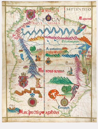
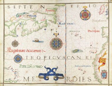
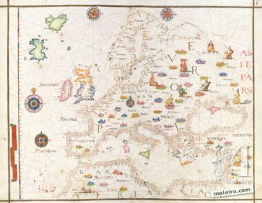
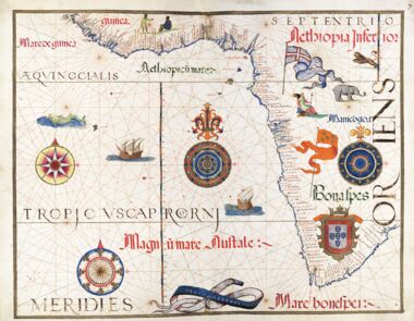
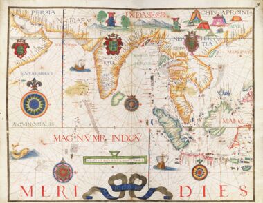
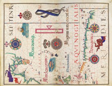
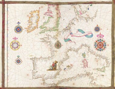
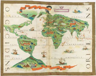
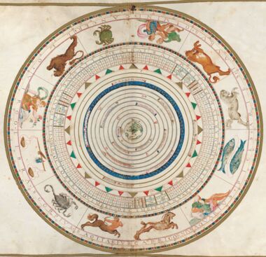
Sixteenth-century, Portuguese navigation charts were highly appreciated not only because of the new elements related to celestial navigation (elements that the Portuguese were incorporating into portulan-type hydrographic charts) but also because of the extraordinarily wide geographical areas covered.
This is understood to be because the Portuguese, having pioneered geographical discoveries since the 15th century, were the only ones, since the early 16th century, to have sailed the Indian Ocean and around America and China, Brazil and Japan, Africa and Indonesia, in other words, all the seas in the world, at the same time.
The mid 16th century was a time when the series of the most important geographical discoveries was virtually complete. The Earth became known to Europeans basically as it is today (apart from certain zones of less demographic importance). It is not by chance that this decisive cycle in the history of discoveries coincides with an important cycle in the history of cartography. Nor is it by chance that Portuguese influence played an important role in both.
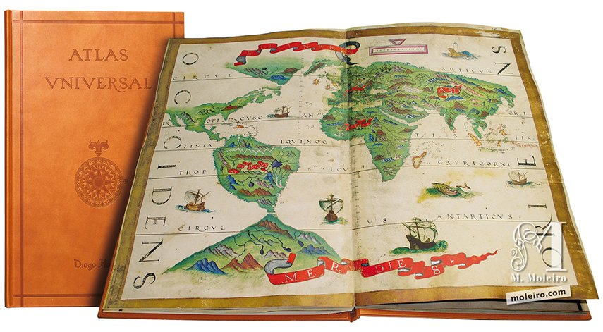
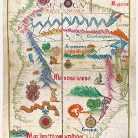
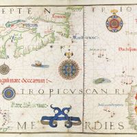
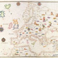
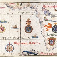
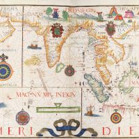
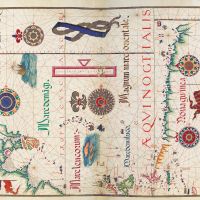
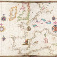
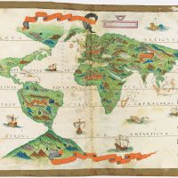
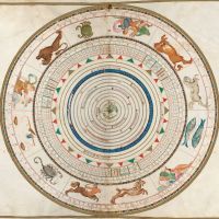
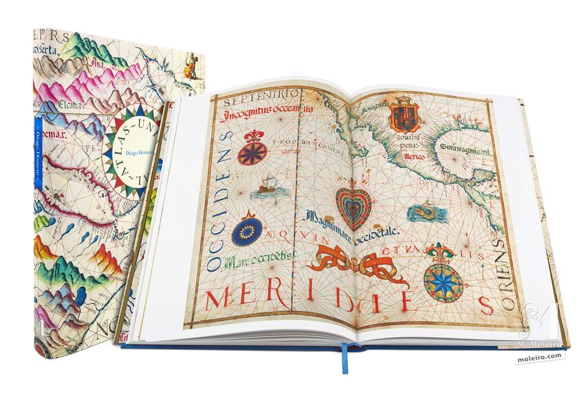
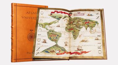
The charts by Diogo Homem – the most productive Portuguese cartographer – are the most emblematic and priceless example of the navigation charts produced in Portugal in the 16th century. Diogo Homem’s beautiful atlas, dated circa 1565, will always be deemed to be one of the most brilliant examples of this cartography. Until now, this breathtakingly beautiful universal atlas – one of the most aesthetically significant items in this author’s prolific oeuvre – had merely been the subject of brief comments and the occasional photograph using limited means. This virtually identical edition reproducing every single aspect of the codex may therefore be considered to be the definitive version.